
Name of the Assignment: NGO Services for Land Acquisition and Utility Shifting
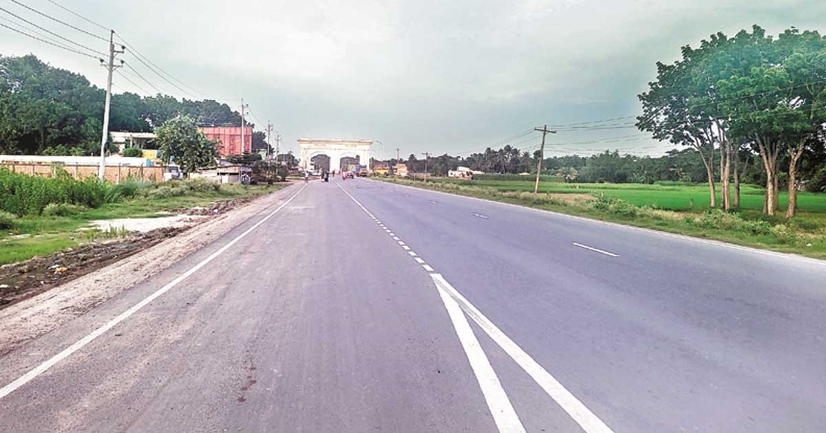
Project Location: Bhanga of Faridpur District, Jashore District, Benapole and Narail District
Project Authority/Client: Roads and Highways Department (RHD)
Financier: Government of Bangladesh (GoB)
Project Background: Bhanga-Jashore-Benapole (length 129.17 km excluding Kalna Bridge) is an important part of Asian Highway (AHI), BCIM corridor (Corridor 1 and 2) and SAARC Highway corridor (SHC 5) which is currently a 2-lane highway with limited road capacity. Considering the sub-regional connectivity within the South Asian nations, this road needs to be upgraded to a 4-lane highway. As per the proposal of consultant in feasibility study report, a total of 969.36 acres of land will have to be acquired for the development endeavor. Considering the vast amount of land to be acquired, a team of professionals and support staffs will be required to assist RHD in land acquisition and utility shifting activities along the road corridor. The main project operations include some 969.36 acres of land acquisition, compensation for infrastructures and trees and utility transfer. The Roads and Highways Department under the Ministry of Road Transport and Bridges will implement the upgradation of four-lane project with entire government. The main objective of the project is to ensure necessary land acquisition on both sides of the highway and utility transfer to upgrade the Bhanga-Jashore-Benapole Highway into four-lane.
Objectives of the Assignment: The main objective of the assignment is to assist RHD in land acquisition and utility shifting activities along the road corridor.
Actual Services provided by SAMAHAR:
- Assist in revision of Land Acquisition Plans (LAPs) to minimize the cost and unutilized land/to optimize the land use;
- Assist in preparing necessary numbers of new LAPs in consultation with the Project Director, if required, and produce necessary documents for submitting to the Deputy Commissioners office, the final product of LAP will be finalized by the Team and signed by RHD.
- Assist in reviewing plot index and LAP by collecting the latest Mouza Maps;
- Collect the latest Parcha/Khatian (i.e. plot-wise from latest Government Land Record);
- Assist in preparation of documents for DLACS & CLACs;
- Assist in preparing and serving the notice under Section 04 (or other, as appropriate).
- Assist in the demarcation process, including providing materials and logistical support;
- Arrange and provide support to conduct the video taking of the alignment;
- Assist and provide logistic support in the preparation and finalization of the Field Book of the DC offices for affected properties of title holders which will be signed by the DC offices and RHD;
- Assist in collection and compilation of land sale price from relevant sub-registrar offices.
- Assist Public Works Department (PWD) during field visit and provide other logistic support;
- Assist the Forest Department during field visit and provide logistic support;
- Assist in writing notice under section 07 (or other, as appropriate), including arrangement and logistic support for serving the notices;
- Support DC offices in preparing final and acquired Plot Schedule and the Arrangement of inter-ministerial Land Handover to RHD.
- Provide necessary support in settling the litigation; if any
- Assist in publishing Gazette for acquired land.
- Assist RHD in making correspondence with the concern utility agencies;
- Assist in preparation of location maps for identified utilities and prepare detailed inventories of utilities according to agencies/utility types;
- Assist and provide logistic support (including transport) during the survey conducted by concerned utility agencies and RHD;
- Assist and organize the meeting for utility shifting;
- Provide surveyor for assessing existing and proposed right-of-way during survey for utility shifting; and
- Provide necessary support in settling litigation, if any.
- Conduct information and communication campaigns regarding land acquisition compensation, required legal documentation and procedures.
- Establish access to information and records on land acquisition in the LA section of the DC offices with assistance from RHD;
- Provide regular updates comparing the quantity of land of LA schedule with that of the amount of CCL paid for.
- Prepare Utility Shifting Schedule (timeline), monitor progress, update if necessary.
- Design and develop a Computerized Management Information System (CMIS) to manage land acquisition and Utilities data (calculation sheet, payment vouchers, complains, if any) and to generate reports.
- Monitor all land acquisition and utility shifting related activities and prepare monthly and periodic reports on behalf of RHD highlighting progress in all areas.